Nice to meet you all! My name is Nakano, and I work for Soninowa Glocal.
Last year, I made a big life change—I moved to Soni Village, located in the eastern part of Nara Prefecture, after switching careers. Soninowa Glocal is a travel company established by the village, dedicated to sharing its unique charm with more people.
Today, I’ll be hiking Mt. Kabuto and Mt. Yoroi, or Kabuto-dake and Yoroi-dake in Japanese—two iconic peaks in Soni—to gather inspiration for future tour plans.
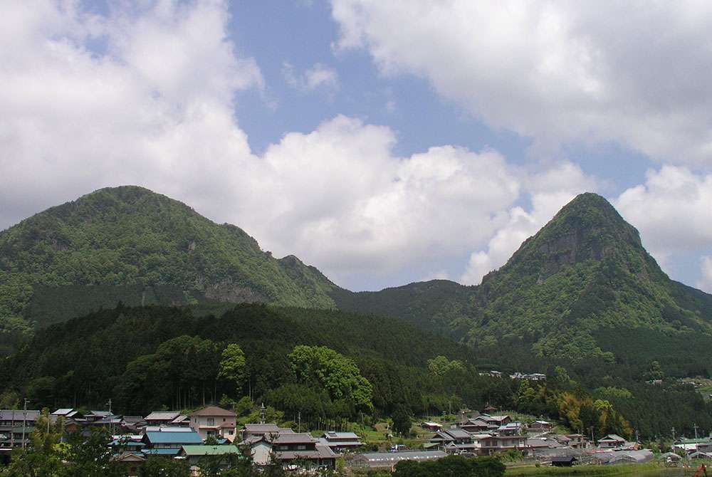
Kabuto-dake
Let’s start from the Kabuto-dake trailhead!
This mountain, standing at 920 meters, gets its name from its resemblance to the helmets worn by Japanese samurai during the Sengoku period.
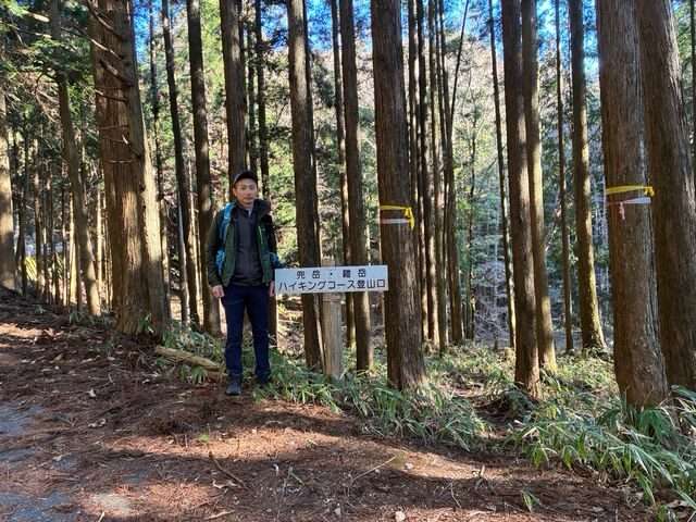
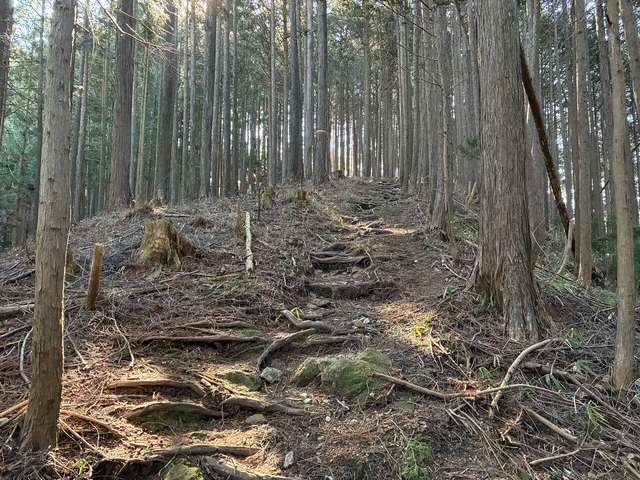
The trail looks like this—just a steady climb all the way up!
After just 15 minutes of hiking, I was already completely exhausted… Clearly, my lack of regular exercise is catching up with me!
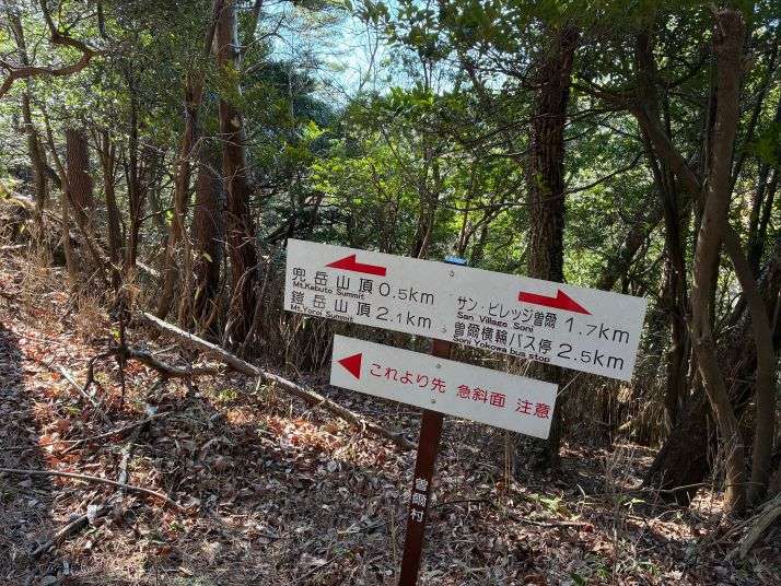
Gasping for breath, I kept pushing forward when I suddenly came across this sign…
“Steep slope ahead – Proceed with caution”
The phrase “a courageous retreat” briefly crossed my mind, but I shook off the doubt and decided to press on!
The photo doesn’t quite show it, but this slope is pretty steep—I’ve got a tough climb ahead.
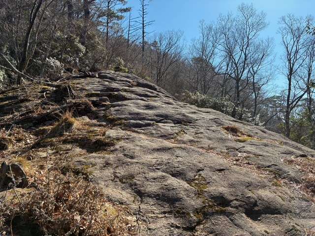
Almost there—just a little more to go until the Kabuto-dake summit!
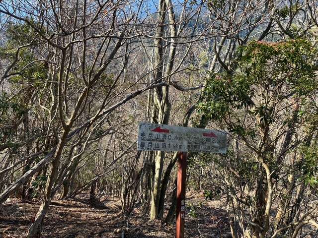
After an hour of hiking, I finally made it to the summit of Kabuto-dake!
From the top, I could see Soni Highland, one of the village’s most breathtaking spots, stretching out in the distance. To the left, my next challenge—Yoroi-dake—stood waiting.
Here, I decided to take an early lunch while enjoying the stunning view.
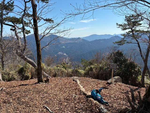
After finishing my lunch, I dozed off for a bit, and before I knew it, an hour had passed—probably thanks to the warm spring weather.
Shaking off the drowsiness, I got back on my feet and set off toward my next goal: Yoroi-dake!
Yoroi-dake
Just east of Kabuto-dake stands Yoroi-dake, an 894-meter peak with a rugged rock face that resembles the odoshi (lacquered scales) of a samurai’s armor.
Since these two mountains are connected, the trail first descends before climbing back up again.
As I continued, the scenery around the trail shifted from mixed woodland to towering cedar trees, adding a new atmosphere to the hike.
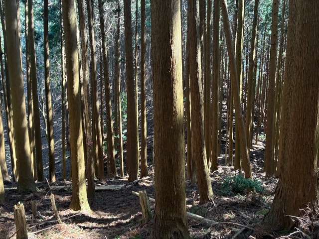
After about an hour from the summit of Kabuto-dake, I finally reached the top of Yoroi-dake.
While the view wasn’t as impressive from here, I was happy to have conquered both peaks for the day. Two summits down!
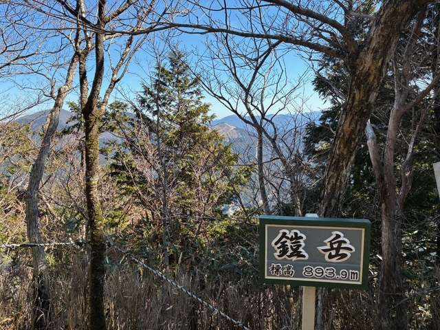
From here, the final stretch to my endpoint—the Shintaku Honten bus stop—was a steady descent through a forest of planted cedar trees.
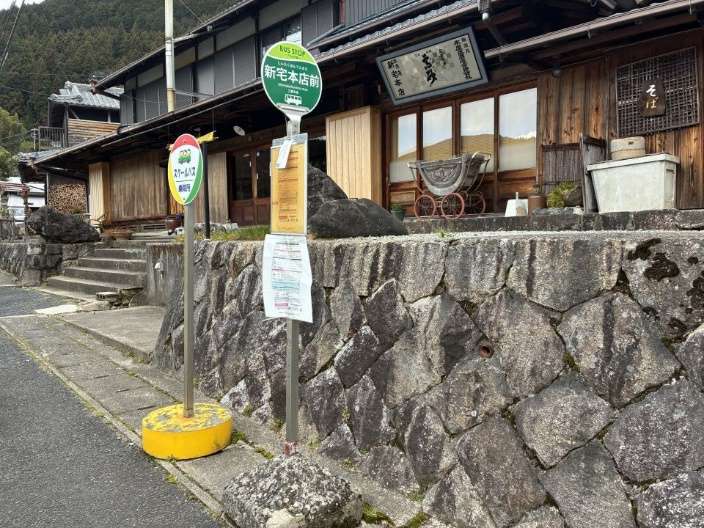
At last, I arrived at Shintaku Honten-mae Bus Stop, marking the end of my hike. Mission accomplished—safe descent!
Some parts of the trail were a bit tricky to navigate, so if you’re planning to hike here, I highly recommend using a hiking map app on your smartphone to stay on track.
Also, if you’re coming to Soni Village by bus, keep in mind that there are only a few buses per day, so make sure to plan your trip carefully in advance.
For those driving, parking is available at the Soni Village Office or at Store 2.7 (two-seven). Note that parking at Store 2.7 requires a fee of 500 yen per vehicle.
For more details on how to get to Soni Village, check out Soninowa Glocal’s “Soni Experience” website.
- Soni Village Office
- 495-1 Imai, Soni Village, Uda-gun, Nara Prefecture
- Store 2.7 (Minshuku 2.7)
- 1341-1 Imai, Soni Village, Uda-gun, Nara Prefecture
