A Fat-burning, Hill-slaying Ride
Slopes with an incline of over 20% and “upper rank” hills hitting one after another.
Our ride this time was on a hill climb course where numerous fat-burning challenges awaited us. This is a ride that will take you up a number of hills, culminating at Yagyu Ittoseki, popularized by the hit Japanese anime, “Demon Slayer.”
What is “East Nara Nabari Yamanami Rides”? Learn here.
Note: Information is accurate as of publication and may be updated.
| Route | Nabari no Yu — Lake Tsukigase — Itto-seki Split Boulder — Nunome Dam — Mt. Kono — Kamitsu Dam — Nabari no Yu |
| Distance | 71.3 km (44.3 miles) |
| Elevation gain | 1,174 m |
| Calories burned | 2,700kcal |
| Date | 7:30 am - 2:00 pm, December 19 |
| Difficulty | (based on the author’s impression) |
- Index
And the Hill Slayers are Headed for...
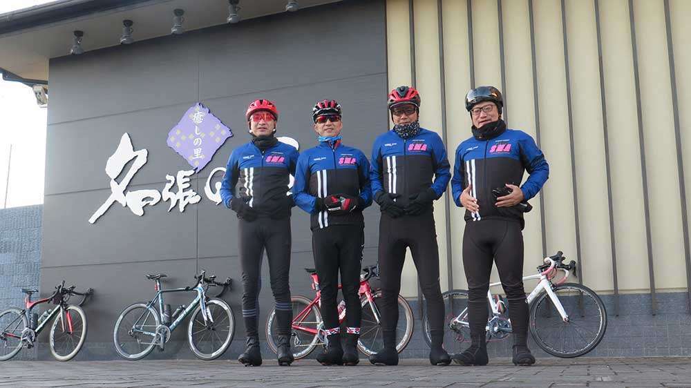
Four guys looking to burn some fat gathered at the starting point, “Nabari no Yu [JP].”
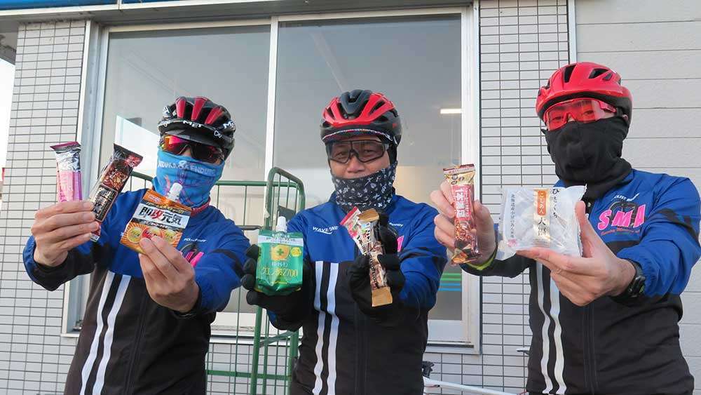
Within five minutes of starting the ride, we stopped at a convenience store to get some food supplies.
You would be fooled if you think this is counter-productive to burning fat. If you run low on energy, your blood sugar will plummet and you will fall into a hypoglycemic state known as a hunger knock, which will make you unable to move.
When going on long-distance rides or hill climbs for extended periods of time, you burn more calories than you would expect. Beginners in particular need to be careful as they might try too hard and overdo it.
It is important to refuel frequently before you feel hungry because you may suddenly feel depleted. Jelly drinks, chocolates, and other high-calorie foods in small amounts are ideal as they are more efficient.
First Hill
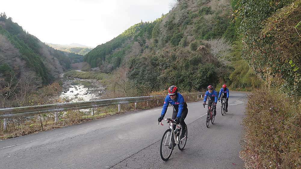
After running along the Nabari River for about 6km from the convenience store, we reached the first hill climb section (distance: 2.6km / elevation gain: 122m). Everyone climbed up the hill with ease and energy, and we headed toward Tsukigase.
Kansai’s Prided Plum Grove
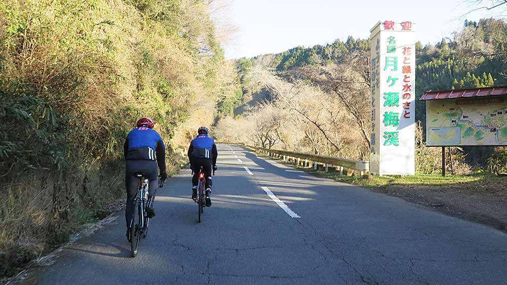
With Lake Tsukigase on our right, we rode gently uphill.
Around the lake is the Tsukigase Plum Grove, lined with as many as 10,000 plum trees. It is famous as one of the best plum groves in the Kansai region, and is home to the plum blossom festival that is held from mid-February to the end of March. In early April, 2,000 cherry blossom trees are in full bloom.
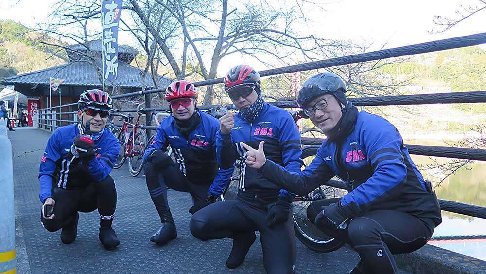
Near the red suspension bridge, there are some establishments where you can enjoy the lake view, dine, or shop.
Second Hill
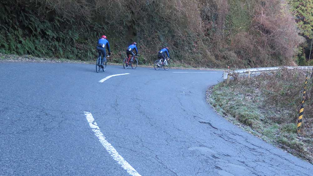
Departing from the reservoir, we entered the second hill climb section (distance 3.4km / elevation gain 146m). It was pretty tough after being on flat roads for some time.
Third Hill
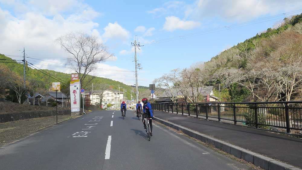
We continued along the river and entered Route 369, then headed south to the town of Yagyu.
Yagyu is a renowned home of swordsmen, and is dotted with many historical sites, including the former residence of the chief retainer of the Yagyu domain.
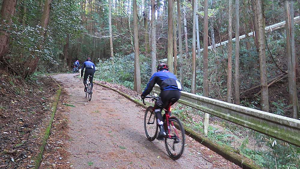
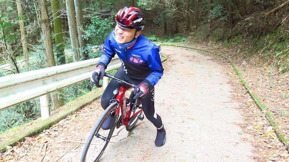
We turned left at the intersection after the bus stop and headed for the forest road, which was a steep hill with a maximum slope of 22%. The slope twisted in the middle.
Total concentration, pedal to the metal!
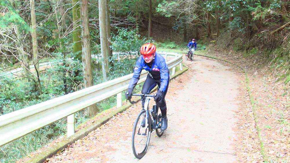
“Steep slope breathing! First form! Lower gear!”
Kou, who has mastered the special breathing technique as a slope slayer, performed the most basic move to conquer a steep slope, “shifting into a lower gear.” The key is whether you can effectively utilize the lower gears for a lighter ride.
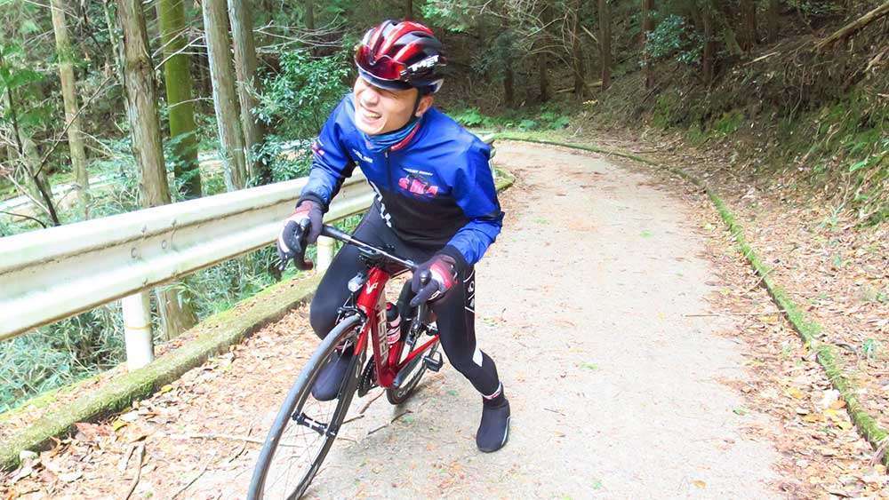
Sachi, on the other hand, who had not yet mastered the breathing technique, put his feet on the ground.
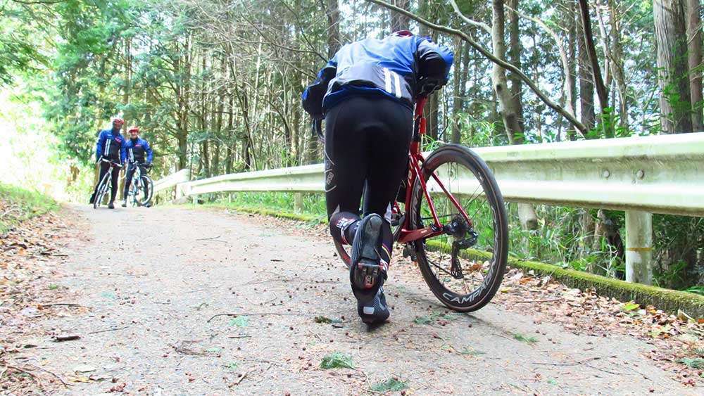
It was then that Kou gave Sachi some sound advice.
“Too slow!”
It seems that Sachi’s timing of switching to a lower gear was too late. Hill climbing requires early gear shifting, before it gets too hard to pedal.
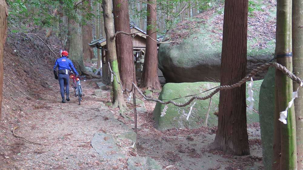
Home of the Itto-seki Split Boulder, Amano Ishitate Shrine. The uphill continued to the torii gate, and from there we proceeded on foot. In two to three minutes, we were at the shrine. While the shrine did not have its main shrine building, there were large boulders enshrined as its deities.
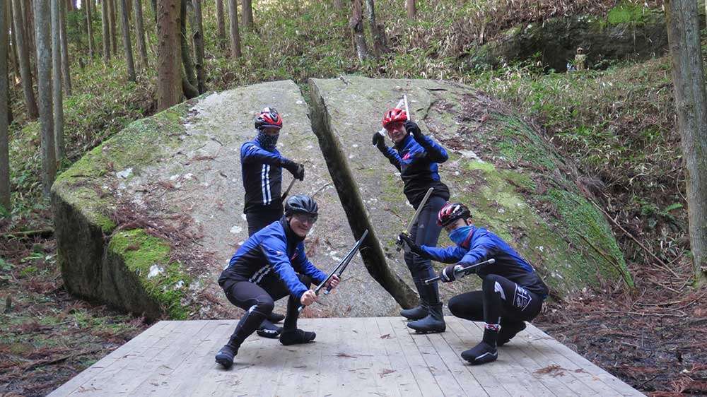
Continuing further behind the shrine, there was the Itto-seki Split Boulder!
It is said that when Yagyu Munetoshi (also known as Sekishusai), the founder of one of Japan’s school of swordsmanship, Yagyu Shinkage-ryu, practiced his swordsmanship against a tengu (a Japanese long-nosed goblin), he cut down the tengu with a single stroke of his sword, leaving behind a rock that split in two.
Lake Nunome — The Route in the Tour of Japan Nara Stage
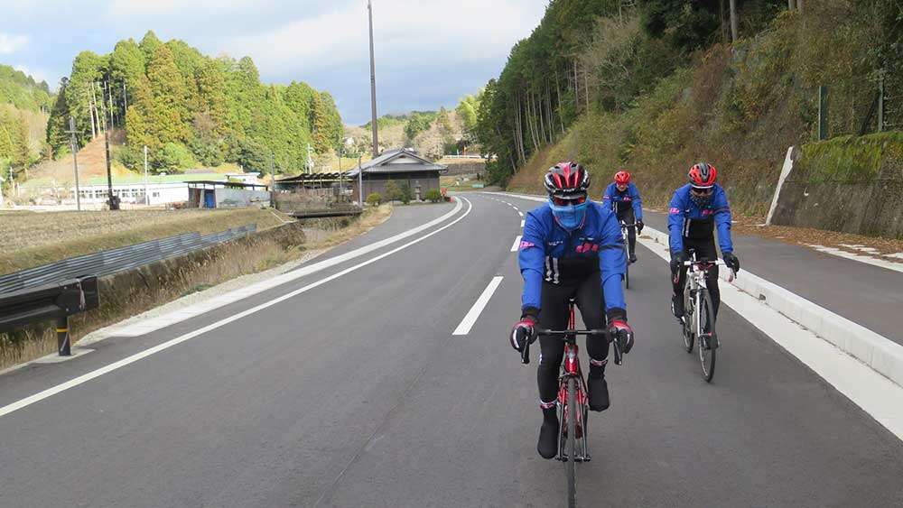
After the arduous ride, we returned to Route 369 and headed for Lake Nunome.
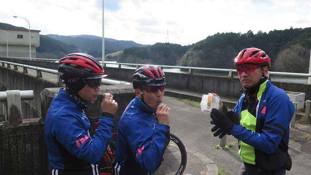
When we arrived at Lake Nunome, we took a bathroom break and made sure to refuel with some food. There is an observatory after crossing the road at the top of the dam. You could also have your food there.
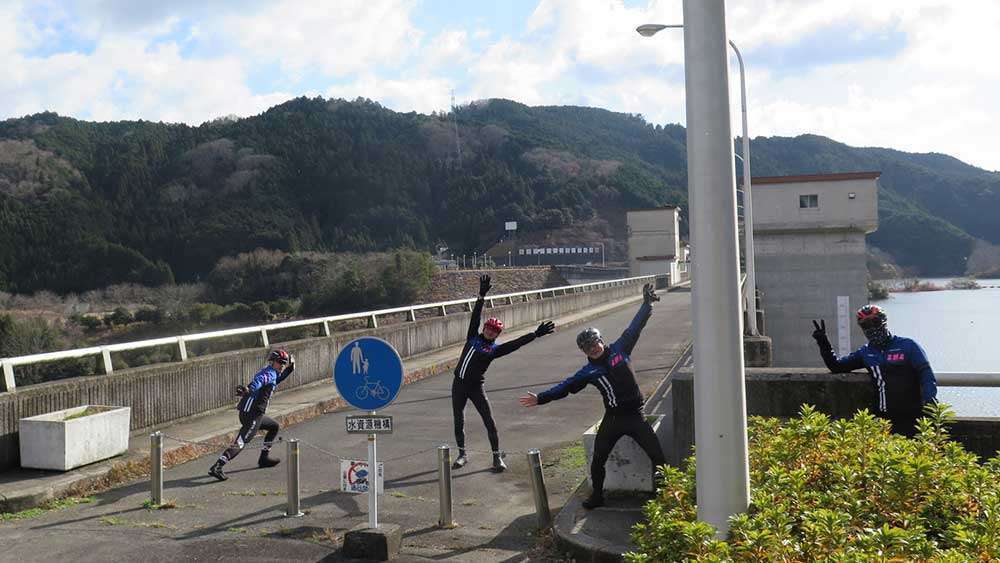
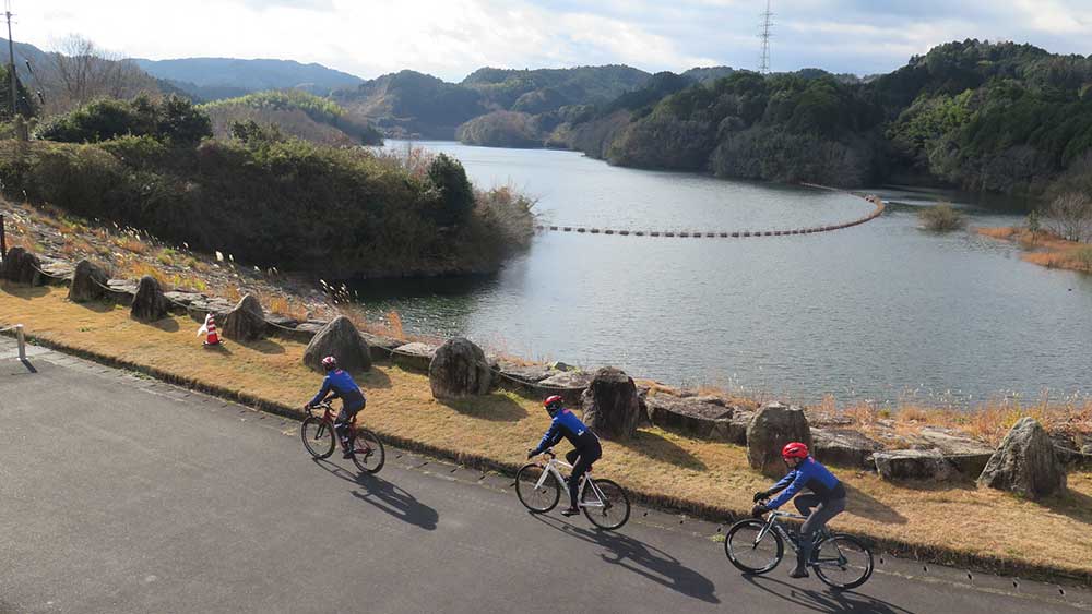
Lake Nunome was also part of the route in the Tour of Japan Nara Stage, so it might nice to take a look around there.
Fourth Hill
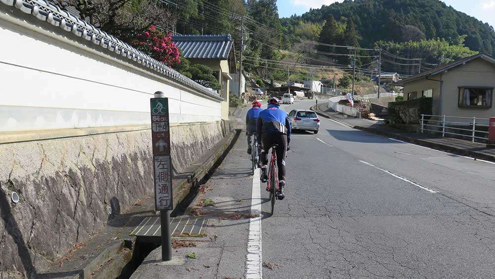
We rode down south along the lakeside, and turned left at the end of the road. This was where the fourth hill climb section (distance: 3.2km / elevation gain 262m) started.
What awaited us was the longest and biggest hill on this course, which we named the Upper Rank Hill after “Demon Slayer.” We aimed for Mee Mee Farm in Mt. Kono.
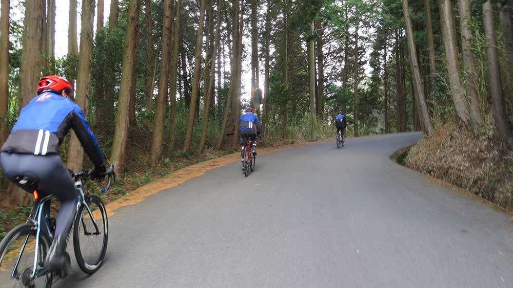
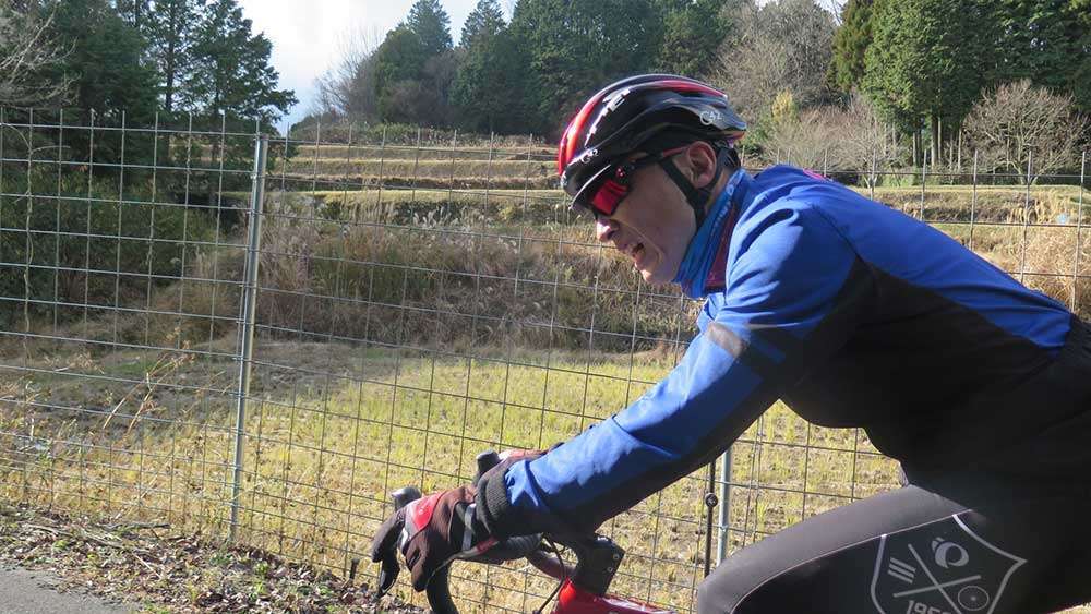
Sachi’s agony is evident during the long uphill. That fat is burning hard!
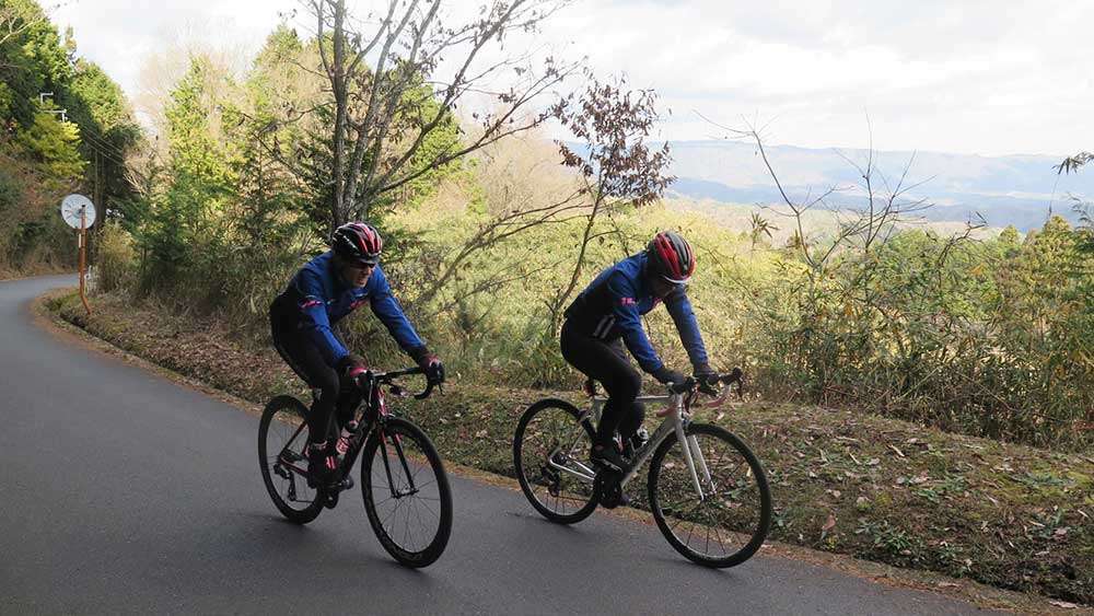
The view is starting to open up. Woohoo! ...Nope, we don’t have the energy to be cheering.
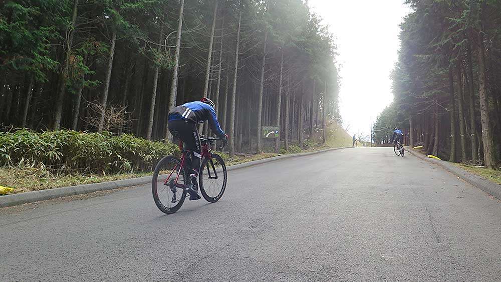
The climax of the course was the slope leading to Mee Mee Farm! We were greeted by the most intense slope of the course, Upper Rank Hill with a maximum slope of 24%.
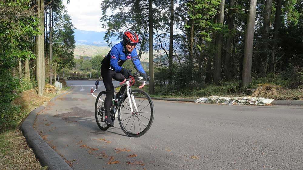
“Steep slope breathing! Second form! Forward seating!”
At this point Hori had also learned the special breathing technique, and performed “forward seating,” which is basically sitting further forward on the saddle. This makes it easier to put your weight on the pedals to push them, and allows you to conquer steep hills of over 20% incline.
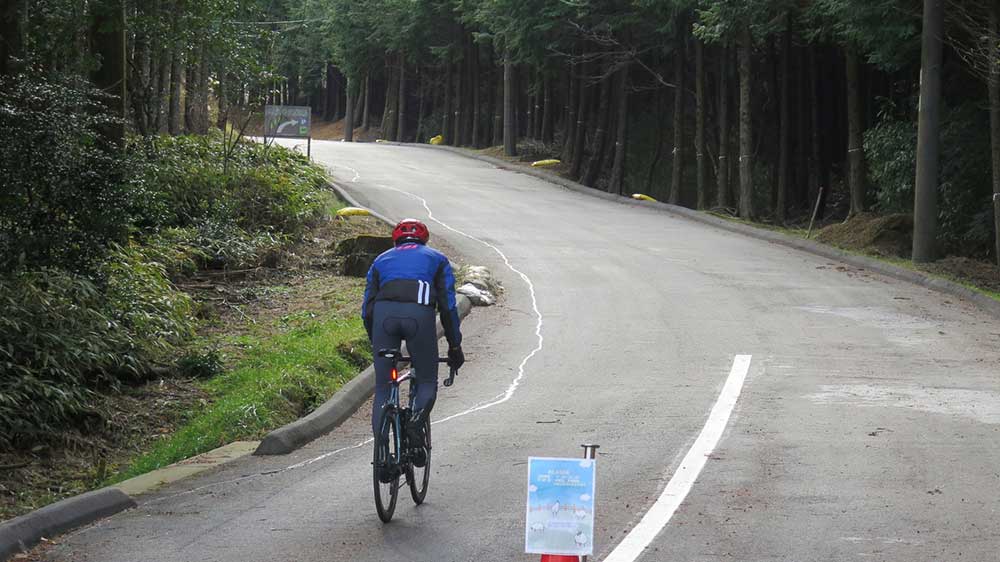
“Steep hill breathing! Third form! Standup pedaling!”
There it is! Kou is showing off his signature breathing technique.
We climbed straight up the hill by riding out of the saddle. The key is to swing the bike naturally without swinging the body, and to look firmly ahead. This works only for a brief boost however, since it takes a lot of energy. Combine the standing and seated positions wisely as you go up the hill.
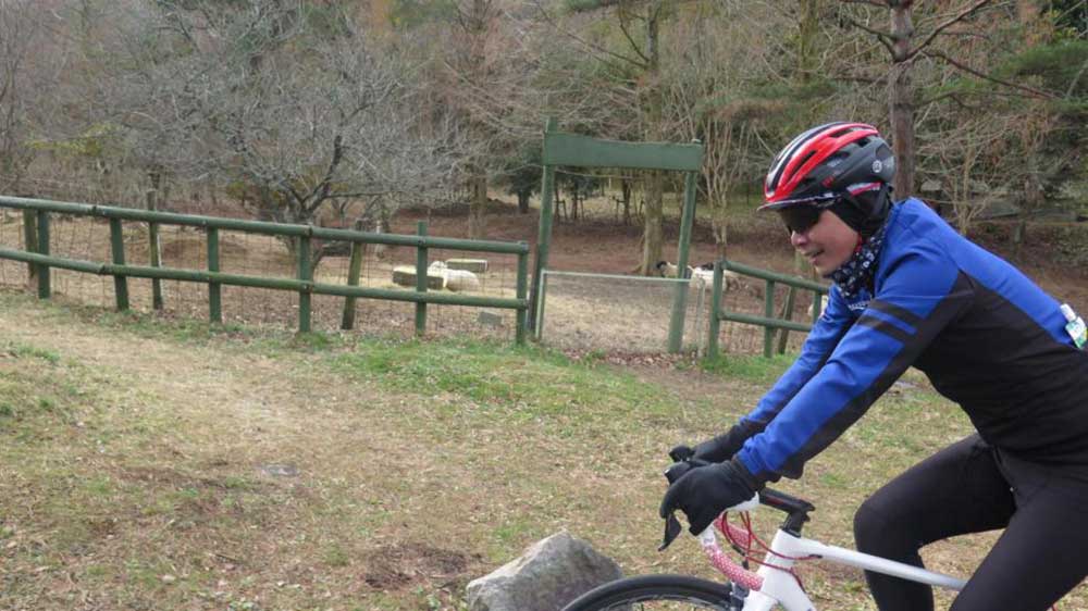
Mee Mee Farm. The sheep were cheering us on.
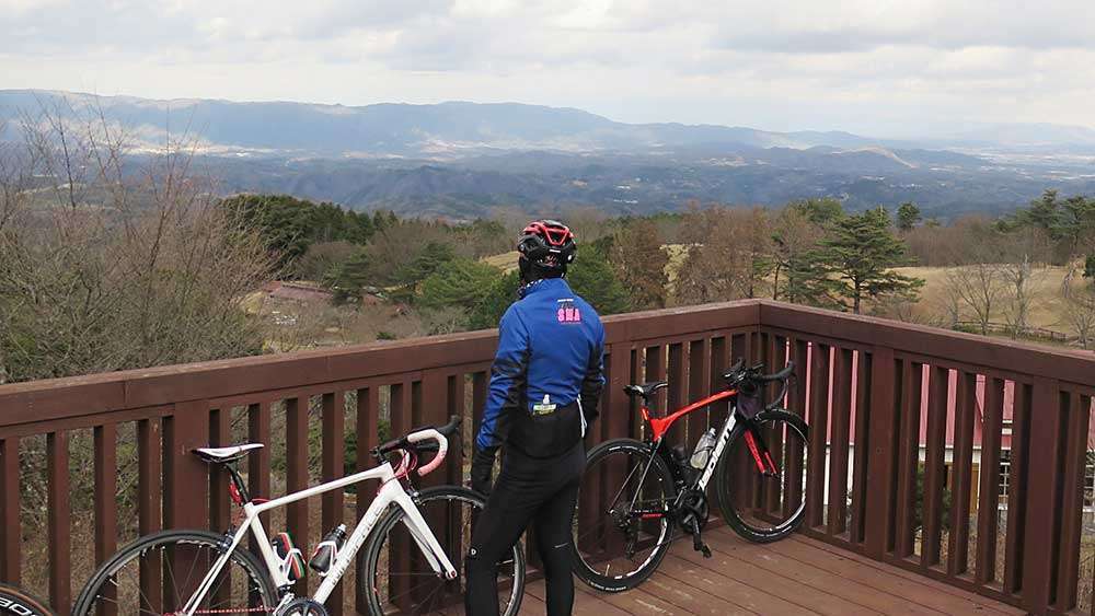
The observation deck. We finally made it up the Upper Rank Hill. The beautiful vista restored our spirit.
Unexpected Turn of Events are a Part of Any Journey
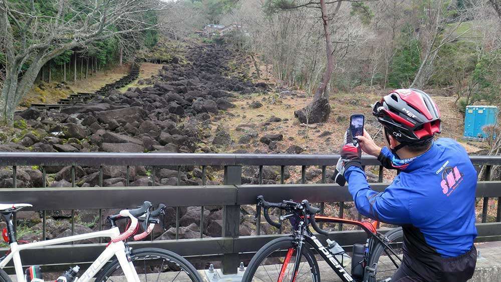
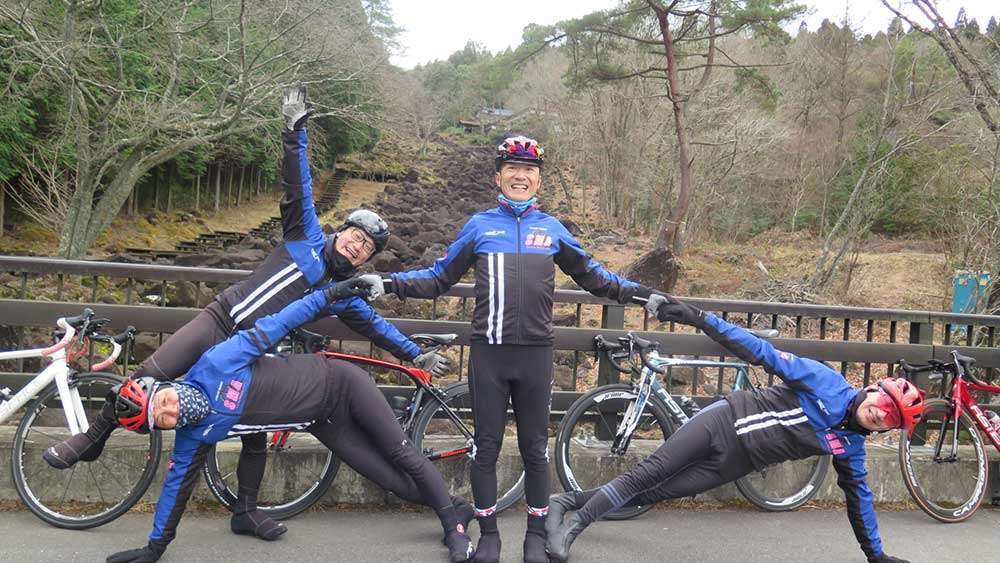
Leaving Mee Mee Farm, we turned right and continued straight until we saw the Nabekura Valley. The valley is said to offer a geologically rare and valuable sight, with black rocks lining the mountainside of Mt. Kono for about 650m.
It is believed that the ancient inhabitants may have regarded this site as a place of worship, given how other megaliths of Mt. Kono are placed in the position of the North Star and the Summer Triangle when imagining the Nabekura Valley as the Milky Way. Like the Itto-seki Split Boulder, there are many traces of nature worship in this area, inviting us with the allure of the past.
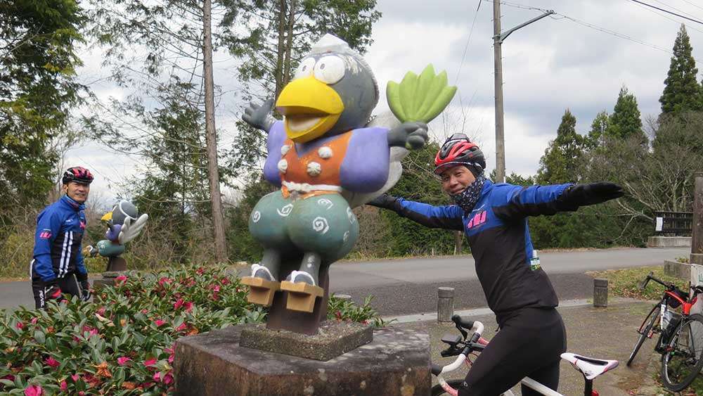
Yamazoe Village’s mascot character “Tenmaru” is a Japanese goblin that has the bill of a crow, called karasu tengu, which is said to live in Mt. Kono.
Now that we’ve burned off the calories, it’s time to eat something warm and delicious!
Unfortunately, the cafeteria Eizanko was closed that day. When it is open, you can eat on the terrace while enjoying the outstanding view.
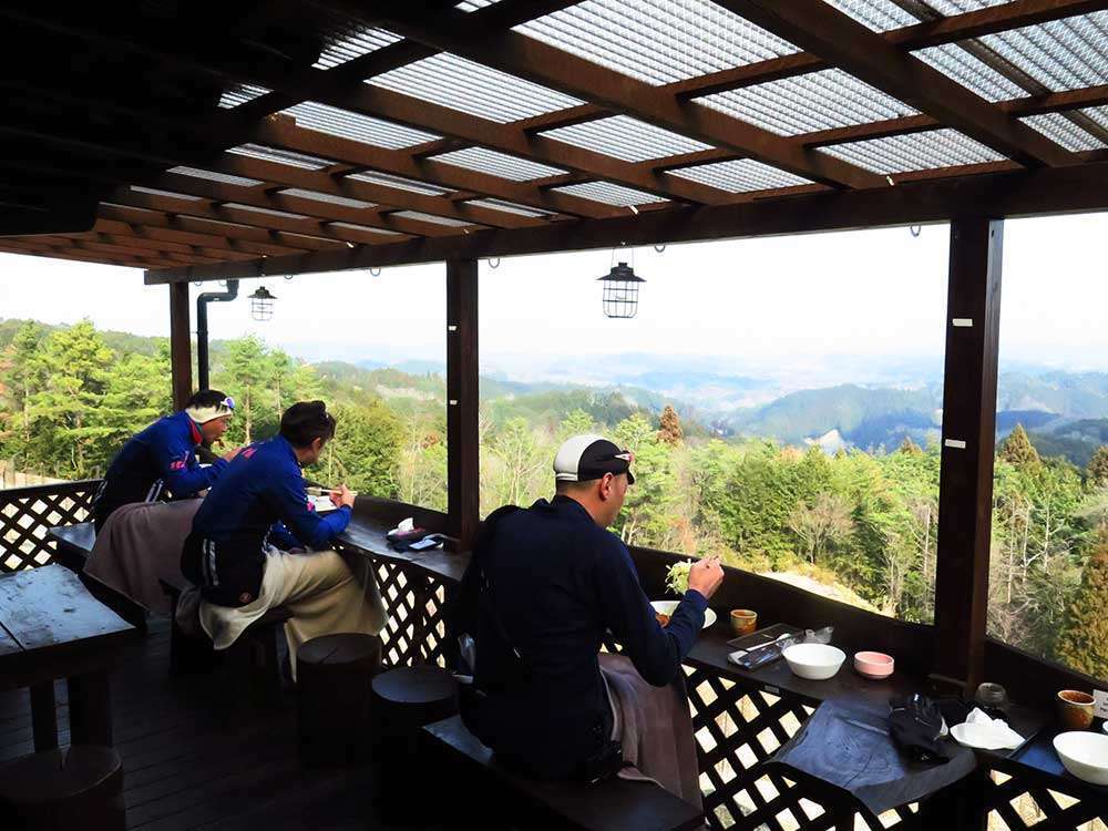

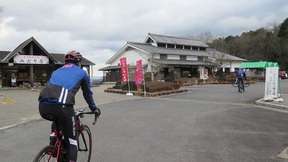
Instead, we went to the farmer’s market restaurant Midoriya, which was right next to the cafeteria.
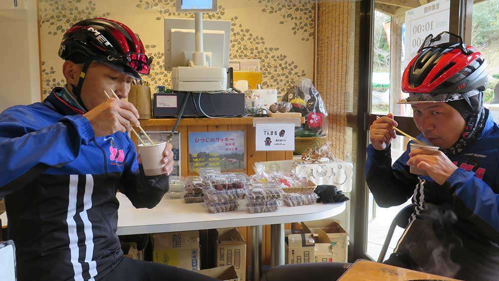
We had tonjiru (pork miso soup) in a paper cup which was only ¥100. It warmed us to the core!
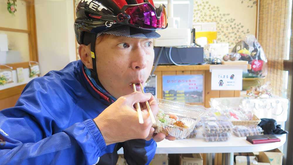
Yum! Okowa sticky rice with chestnuts and sweet potatoes was ¥200.

With six flavors to choose from, all of the stuffed dumplings called oyaki were made with fresh vegetables harvested from the local fields, reasonably priced at ¥120 per piece!
They were all freshly baked and really delicious!
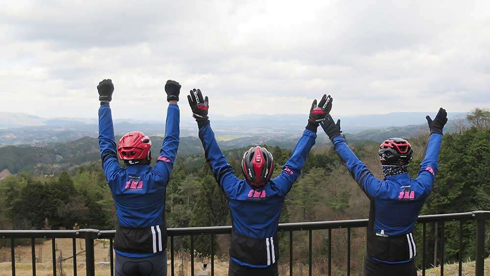
At the restaurant, we got to appreciate the kindness of the local old ladies. This is what traveling is all about.
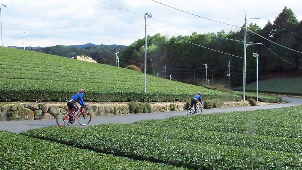
We then descended Mt. Kono. This area is known for the production of Yamato tea.
After the descent, we headed for Kamitsu Dam. Pay attention as there are some unclear parts along the route.
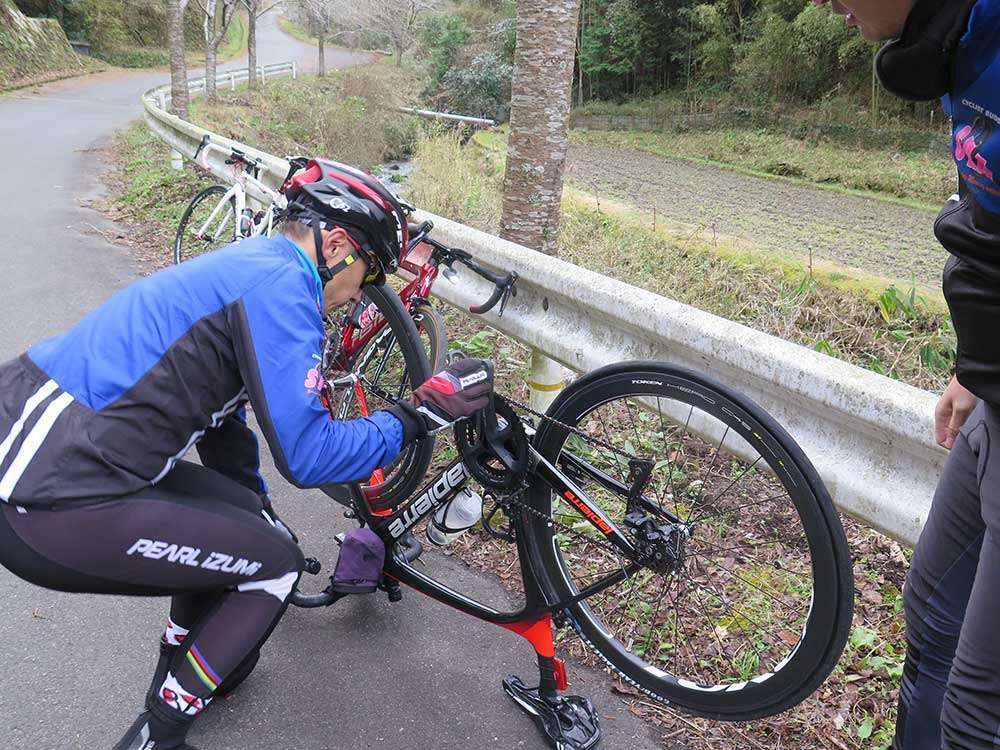
Just before reaching Kamitsu Dam, my bike suddenly got a puncture. Carrying a repair kit is a must to prepare for situations like this.
With the help of my friends, I managed to fix the puncture. If I had been all alone in these mountains...just the thought of it gives me chills.
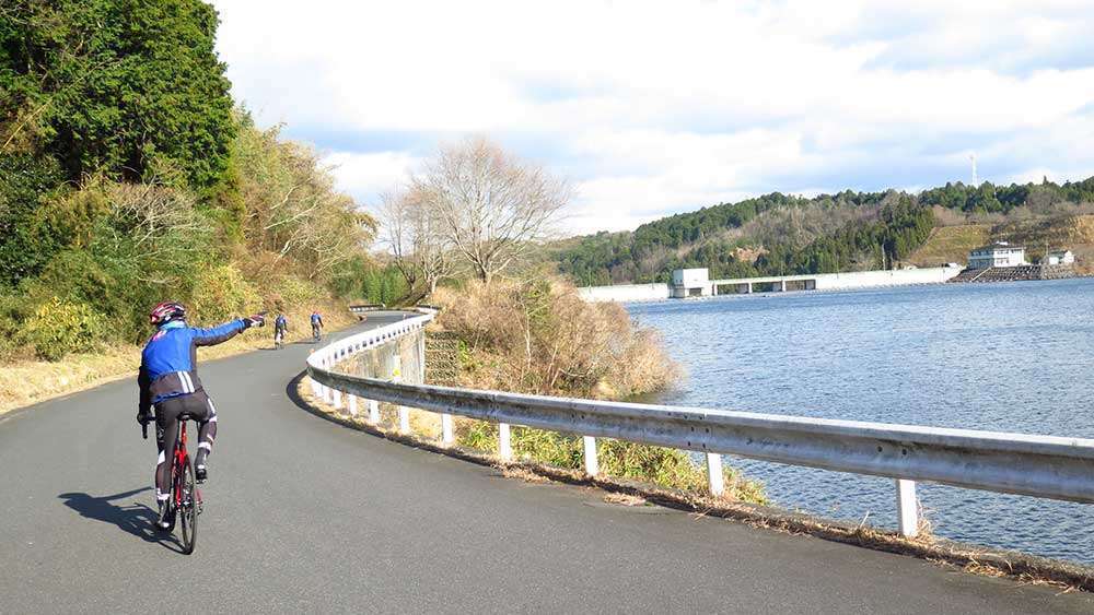
We went around Kamitsu Reservoir from the scenic west side. There is a restroom and an observatory along the road at the top of the dam.
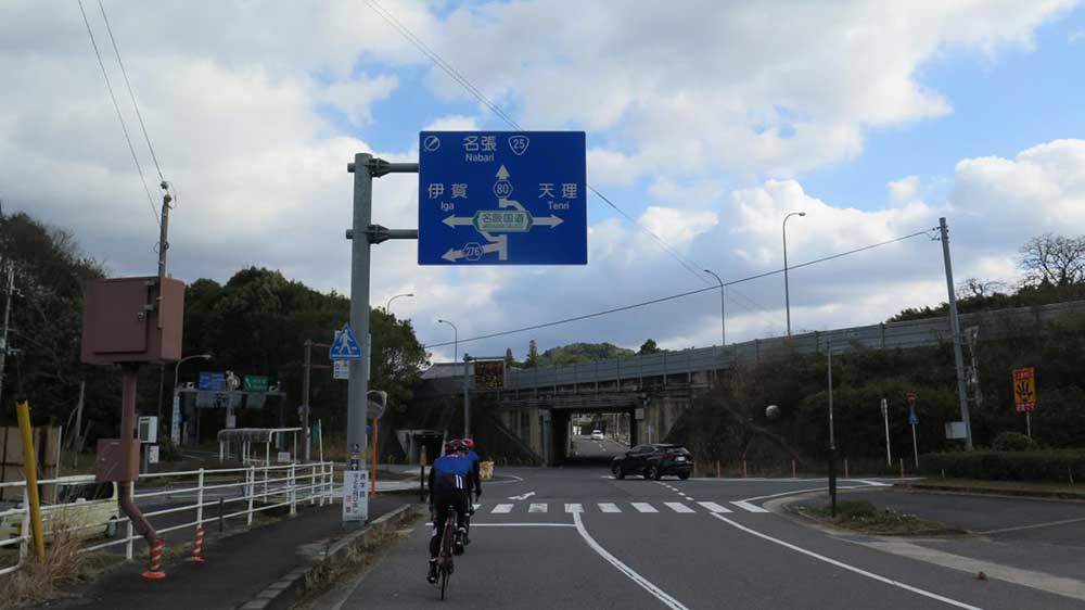
Passing under the Meihan Expressway, we headed for Nabari.
Fifth Hill — The Final Challenge
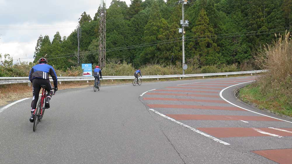
The last hill climb section (distance: 1.7km / elevation gain: 71m) — this is the same road we went down on the outbound leg. It was only a short distance, but we were tired, so we used the last of our strength to finish the climb!
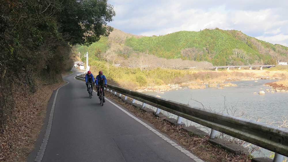
We then descended the hill and continued along the Nabari River. The murmuring of the river seemed as though it was congratulating us on our safe return. The wind was strong at times, adding quite a challenge to our ride.
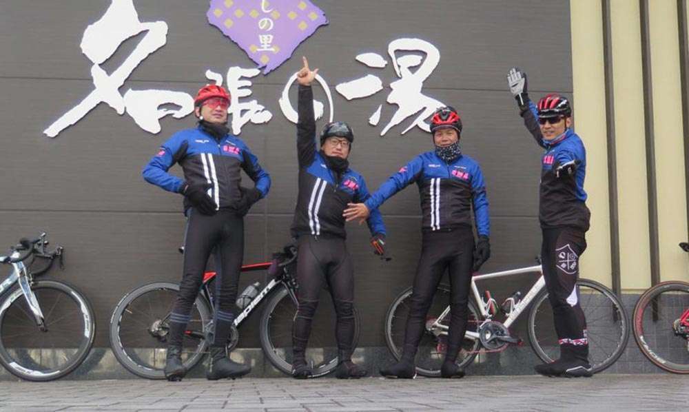
Back to Nabari no Yu! I’m sure we’ve all shed some pounds!
After all, the more of your own weight you offload the easier hill climbing becomes.
- Other routes
-
- Kaochidani—Murou—Akame 48 Falls
- Murou—Yoshino—Uda-Matsuyama
- Yagyu—Nunome Dam—Mt. Kono
- Kaochidani—Soni Highland—Mitsue
- About “East Nara Nabari Yamanami Rides”
