Countryside Cycling Routes in Kansai
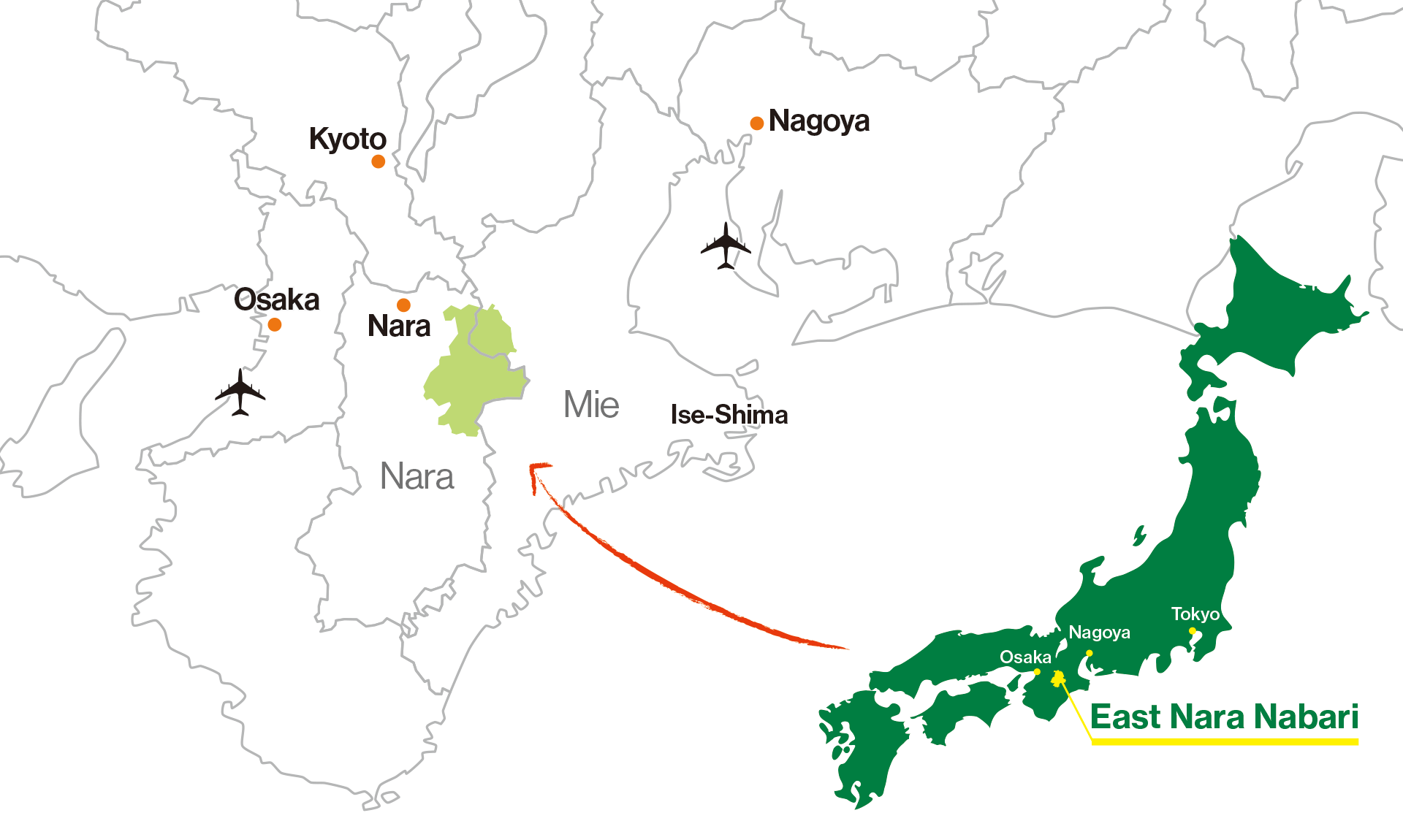
East Nara Nabari
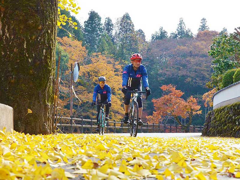
Yamanami Rides
The rides take you through deep mountains, valleys, and mountain villages built on a myriad of historical layers.
The East Nara Nabari, which spans around the eastern part of Nara Prefecture, is an area endowed with changing mountain views and rich nature. This area includes Muro-Akame-Aoyama Quasi-National Park, which is home to a series of mountains formed by volcanic activity about 15 million years ago. In addition to streams running through the valleys, there are many spiritual spots with rich history.
Features of the Cycling Routes
Some of Japan’s most attractive mountain routes are formed by connecting the deep mountains with mountain villages through ancient roads such as Ise Honkaido and Hase Kaido. The deep mountains are dotted with numerous reservoirs that serve as sources of water in the Kansai region, whereas the mountain villages still retain historical temples, shrines, and the landscape of unspoiled Japanese countryside. On this site, we will introduce four long-distance and six short-distance routes from this area. Since the roads are relatively wide and there are few cars and traffic lights, the area regularly attracts many cyclists from Osaka and other urban areas.
For Cycling Enthusiasts
LONG DISTANCE RIDES
Kaochidani—Murou—Akame 48 Falls
by Taka
66.7 km (41.4 miles) Map
Muro-Akame-Aoyama Quasi-National Park, which straddles the border between Nara and Mie prefectures, is packed with sights to see. The route offers a diverse array of landscapes including mountains, valleys, streams and lakes, and is especially beautiful during the autumn foliage season. The route is dotted with numerous sites of spiritual significance renowned for dragon worship since ancient times.
Read More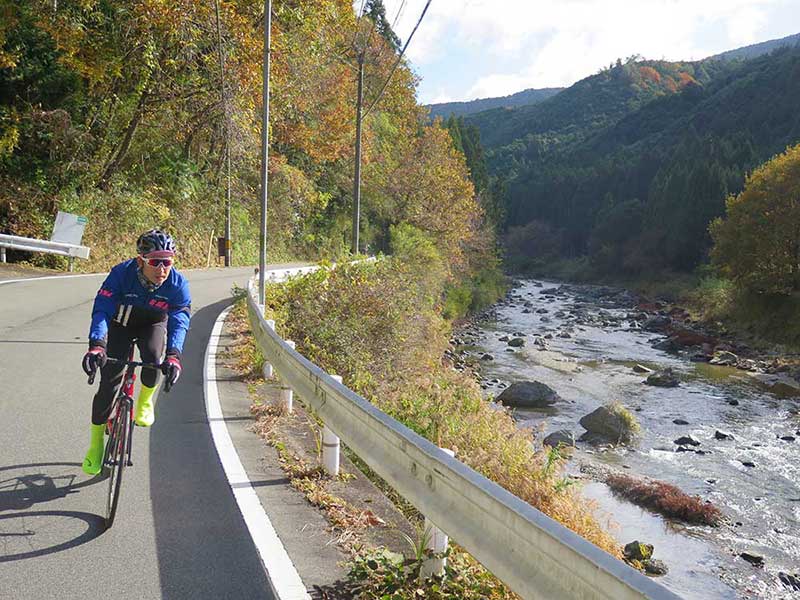
Murou—Yoshino—Uda-Matsuyama
by Taka
130.4 km (81 miles) Map
We took on the challenge of a long ride of over 100km starting from Nabari, aiming for the World Heritage Site of Mt. Yoshino in late autumn. The course is full of cherry blossom spots, so a ride in spring would also be impressive.
Read More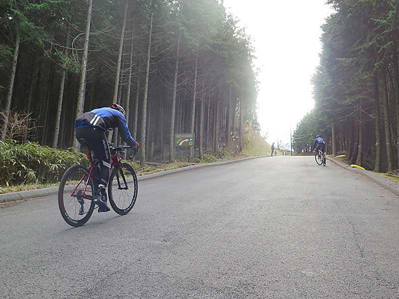
Yagyu—Nunome Dam—Mt. Kono
by Taka
71.3 km (44.3 miles) Map
Slopes with an incline of over 20% and “upper rank” hills hitting one after another. Our ride this time was on a hill climb course where numerous fat-burning challenges awaited us. This is a ride that will take you up a number of hills, culminating at Yagyu Ittoseki, popularized by the hit Japanese anime, “Demon Slayer.”
Read More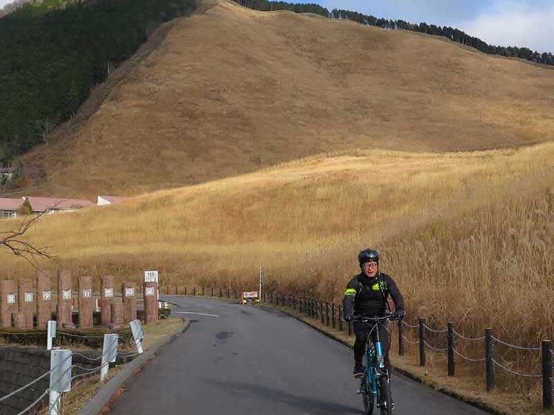
Kaochidani—Soni Highland—Mitsue
by Taka
56.8 km (35.3 miles) Map
Using the bikes rented from Cycle Pro Shop RPM located by Lake Shorenji, we took on a hill climb in Soni Highland, famous for its Japanese pampas grass. This time I enjoyed a father-son ride with my son (3rd year junior high school student) who was not getting enough exercise as he was busy studying for his exams.
Read MoreCasual Cycling with Cultural Experiences
SHORT DISTANCE RIDES
Casual Cycling Introduction
by Stacy
Big cities like Osaka and Nagoya hold endless fascination: rush, pose, take a photo, move on. How about taking a detour to rural enclaves where you can breathe deeply, connect with nature and enjoy Japan at a leisurely pace.
Read More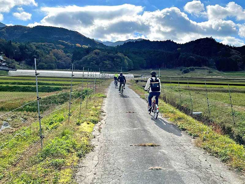
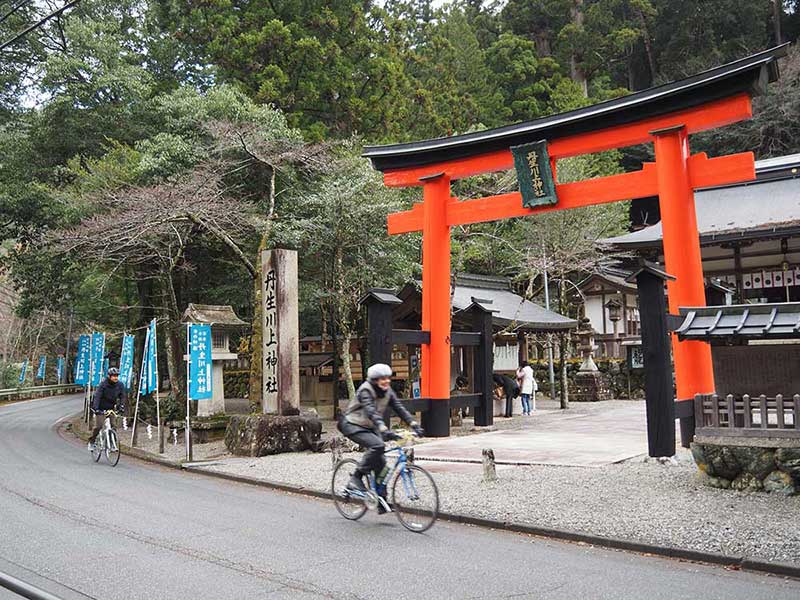
Yamato-hime Pilgrimage Route
by Stacy
28.5 km (17.7 miles) Map
I was really excited to finally visit Mitsue area. My favorite Japanese movie is comedy/drama, Wood Job! (2014). Woodjob was filmed near Mitsue. A young man from Tokyo takes a forestry job. He finds himself in a mountain village, lacking cell phone reception, convenience stores, and traffic lights. The rural-urban divide is real! I love the slower pace, serene beauty and outdoor adventure experiences possible in areas like Mitsue and the best way to experience this, in my opinion, is by bicycle. Ever since I moved to Mie Prefecture in 2019, I have been enjoying exploring rural areas more and more by bicycle.
Read More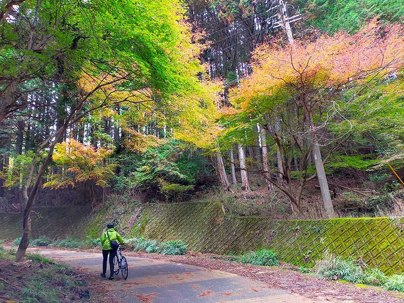
Ninja Route
by Stacy
20.4 km (12.7 miles) Map
My son, 12, pulls himself across the river along a suspended line, standing on floating tires. Most others fall into the shallow river. I don’t. I cross sitting on the tires. This is the finale of the “ninja experience” at Akame 48 Waterfalls [1] in Nabari, Mie Prefecture, where Japan’s top ninja once trained. Ninja haunts suit me. I don’t like crowds and traffic, and I love adventure and exploring the Japanese countryside.
Read More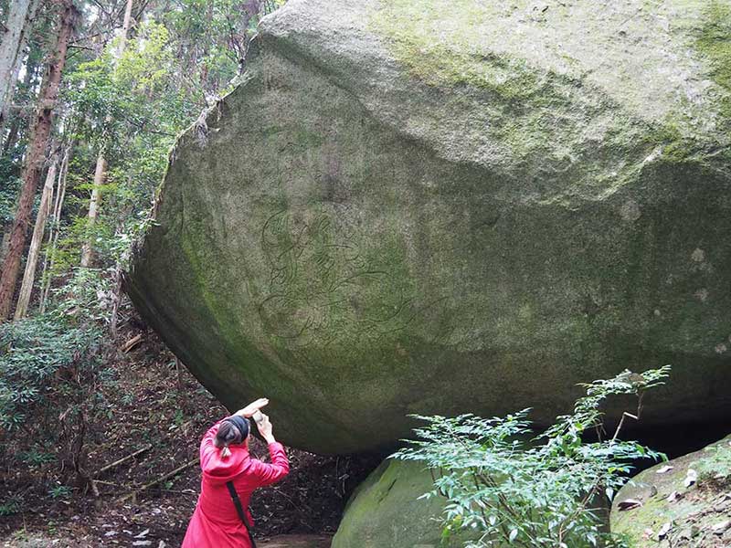
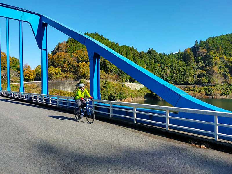
Nunome Lake Experience Route
by Stacy
11.7 km (7.3 miles) Map
Almost heaven, west of Mie
Blue-green mountains, Nunome River
Life is old there, older than the trees
Younger than the mountains, but old as old can be.
Kaochidani Scenic Route
by Stacy
23.4 km (14.5 miles) Map
Soni Village is a destination for weekenders from Nara City and Osaka. It’s time the Japanese let the rest of the world know about their favorite getaways like this one!
Crystal Stream Route
by Stacy
30.4 km (18.9 miles) Map
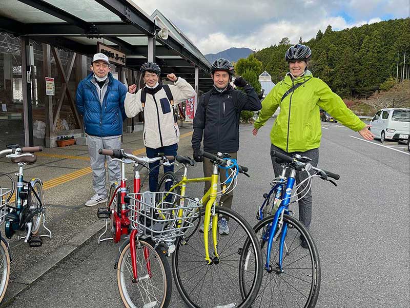
Saturday, December 4th, 9 AM. It’s a few degrees above freezing. I arrive at Nabari Station in Mie Prefecture by the Kintetsu Limited Express (limited stops between Ise Shima, Nara, Kyoto, Osaka and Nagoya). The folks from East Nara & Nabari Tourism greet me. We head to World Maple Park Hirara, a 40-minute drive. From there, our adventure starts aboard touring-type rent-a-cycles. Electric-assist bicycles are also available.
Read More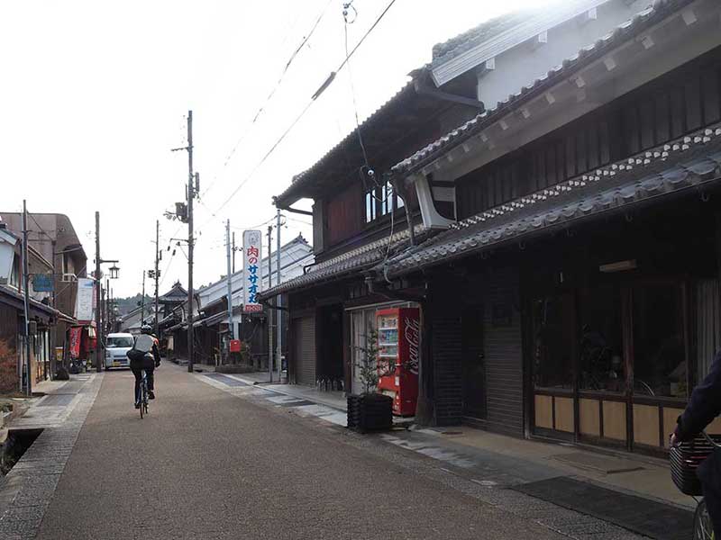
Mahoroba Sakura Route
by Stacy
18.1 km (11.2 miles) Map
Mahoroba Sakura Route in Uda City, Nara, takes you to two very special shrines, along country roads to an Edo-era streetscape, past a breathtaking pastoral landscape dotted with rural cafés and parks to a 300 year old cherry tree with a trunk circumference of over three meters, then loops back along a paved, riverside, cherry tree-lined trail: prime cycling!
Read More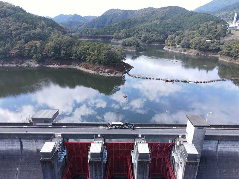
Bonus Route
Muro Dam, Nabari River, and Uda River Infrastructure Tourism Course Test Ride
by Kutan
14.6 km (9 miles) Map
Aiming for Effective Utilization of Rich Natural Scenery and Tourism Resources What is infrastructure tourism? In recent years, “infrastructure tourism,” which is sightseeing of infrastructure facilities such as dams, bridges, ports, and historical facilities, has been attracting attention, and infrastructure tours are being conducted all over the country.
Read More